
With the area in the middle of a deep freeze, it might not seem like it, but severe weather could just be around the corner.
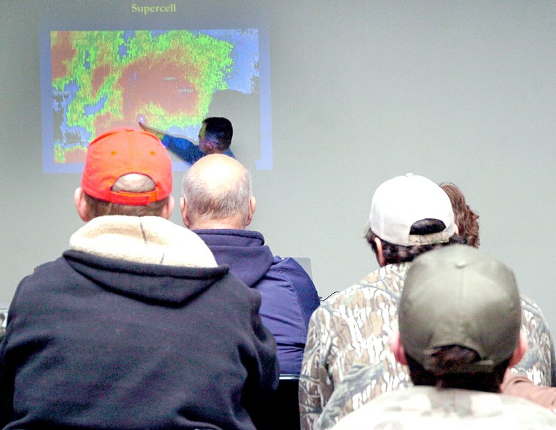
In order for the area to be better prepared, the McDonald County Emergency Management Agency host a storm spotter class Monday night at the Pineville Community Center. About 70 people, from firemen to law enforcement personnel to the general public attended the class.
The class was taught by Doug Cramer, meteorologist with the National Weather Service in Springfield.
Cramer said the most important thing he wanted to stress was for spotters to be safe. He said storm spotting can be really dangerous.
"How close do really need to get?" Cramer asked, making point you can see everything you need to see from a safe distance. He also pointed out the safest areas of a thunderstorm for spotters to locate themselves and still be able to see what they need to see.
He said spotters are still needed despite the advancement in technology, including radar that can identify tornadoes.
"By the time our radar beam gets to McDonald County, it is over 6,000 feet above the ground," Cramer said, noting the farther from the radar tower, the higher the beam. "We need spotters for anything below that 6,000 foot range."
Cramer said spotters' reports are vital for the National Weather Service when it comes to issuing alerts.
"There are things we want to hear and things we don't want to hear," Cramer said. "We don't like false alarms. People don't pay attention to severe alerts when the wrong information is given. We want to cut that down."
He said spotters need to communicate what they see accurately and safely. He added things the Weather Service wants to have reported are funnels/wall cloud, hail, wind damage, flooding, injuries and fatalities and extent of any damage.
Examples of what the Weather Service doesn't want to hear is low hanging clouds, high winds or marble size hail. Cramer said the reporter needs to be very descriptive in order for the Weather Service to get a picture of what is happening or has happened.
Hail size should be reported based on the size of coins (dime, nickel quarter) or of balls (golf, baseball or softball) instead of marble because of all the different sizes of marbles.
Cramer said while tornadoes get most of the attention, flash flooding in this area is a tremendous threat.
"Flooding is a big deal in the Ozarks," Cramer said. "The terrain, rocky soil and all the smaller creeks that can't handle the runoff make the area ripe for flash floods.'
He said a map of the United States showing the area where the most flash floods occur, details the area from east Texas, through Oklahoma to the Ozarks, with the greatest concentration southern Missouri.
"We issue more flash flood warnings out the Springfield office than anywhere in the United States," Cramer said.
The last slide on Cramer's presentation was a simple two-word phrase, underscoring the most important thing he wanted everyone in the room to take away from the class: BE SAFE!
General News on 02/26/2015